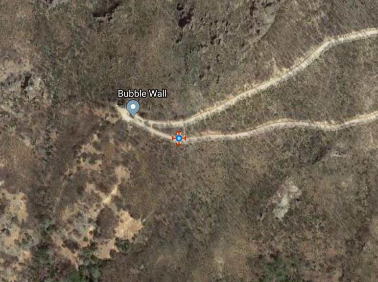
Suppose you have recorded the location of a rare plant by adding an observation record to Calflora.
But, you are worried that if you expose the real location to the public,
plant predators will dig it up, or take so many cuttings from it that it dies.
As the owner, you can edit your record using the Plant Observation Entry
application (POE).
You could change the value of Access by others to private.
But if you do that, nobody besides yourself will ever be able to see the record.
Also, if the location is significant -- that is, it has not been observed anywhere else nearby --
then that information will not be available to other Calflora users.
The other possibility is to obscure the location.
You do this by changing the value of Access by others to obscured.
An obscured record is published, so that any Calflora user can see it.
Other users will be able to see that the plant is growing in the general area where you saw it,
but they will not be able to see the true location.
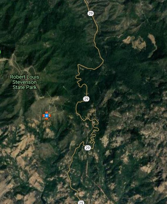
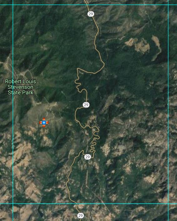
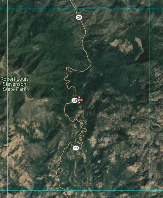
Here is what happens when you obscure an observation:
- The public location of the record is moved to the center of the containing
quarter quadrangle. A quadrangle is 1/64 of a degree; a quarter quadrangle is 1/256 of a degree.
- The publicly viewable value of Error radius is set to 2821 meters.
- The publicly viewable value of Accuracy square meters is set to 2,500,000 square meters.
- On the Observation Detail page for the record, Location Quality is reported as LOW.
This is a way of telling other users that they will not find the plant at the exact location shown on the map.
Also, if a Calflora user is searching for observations with Observation Search,
and they ask for Latitude and Longitude to be included as columns in the results. Obscured records will show no value
(blank, empty) for Latitude and Longitude.
- If a polygon was part of the original record, the polygon is no longer publicly viewable.
- All of the original values (location, error radius, accuracy, polygon) are still part of the record,
but only you have access to them.
- If photos are part of the record, other users will still be able to see them. Photos stored on Calflora do
not contain location information.