DIRECTIONS:
To find the Barker Pass trail, start at Tahoe City and drive south on Route 89 for four miles carefully looking for a small sign indicating the turn to Blackwood Canyon (there is also a Sno Park sign). Make a right turn and go for about seven miles staying on the paved road, which will make a left turn at one point (you might accidentally go straight here but notice you are suddenly on a dirt road), crossing a dam and climbing up the canyon wall. If you here at the right time of year, you will already be enjoying a beautiful display of color, without even getting out of the car. When the road does go to dirt continue on, ignoring the parking on the left, and turn right when you see the sign for "Barker Pass and the Pacific Crest Trail". Then immediately park on the left in front of the landmark ?out house? there. (Tahoe CNPS)
If you are coming from South Lake Tahoe, the turnoff to Blackwood Canyon is almost 2 miles north of the ski slope in Homewood. You turn left and follow the directions above.
TIPS FOR YOUR VISIT
No facilities but a pit toilet. There is a better toilet at SNO PARK when you turn off Route 89 onto Barker Pass Rd.
Bugs are normally no problem here.
The best time to visit is July.
TRAILS:
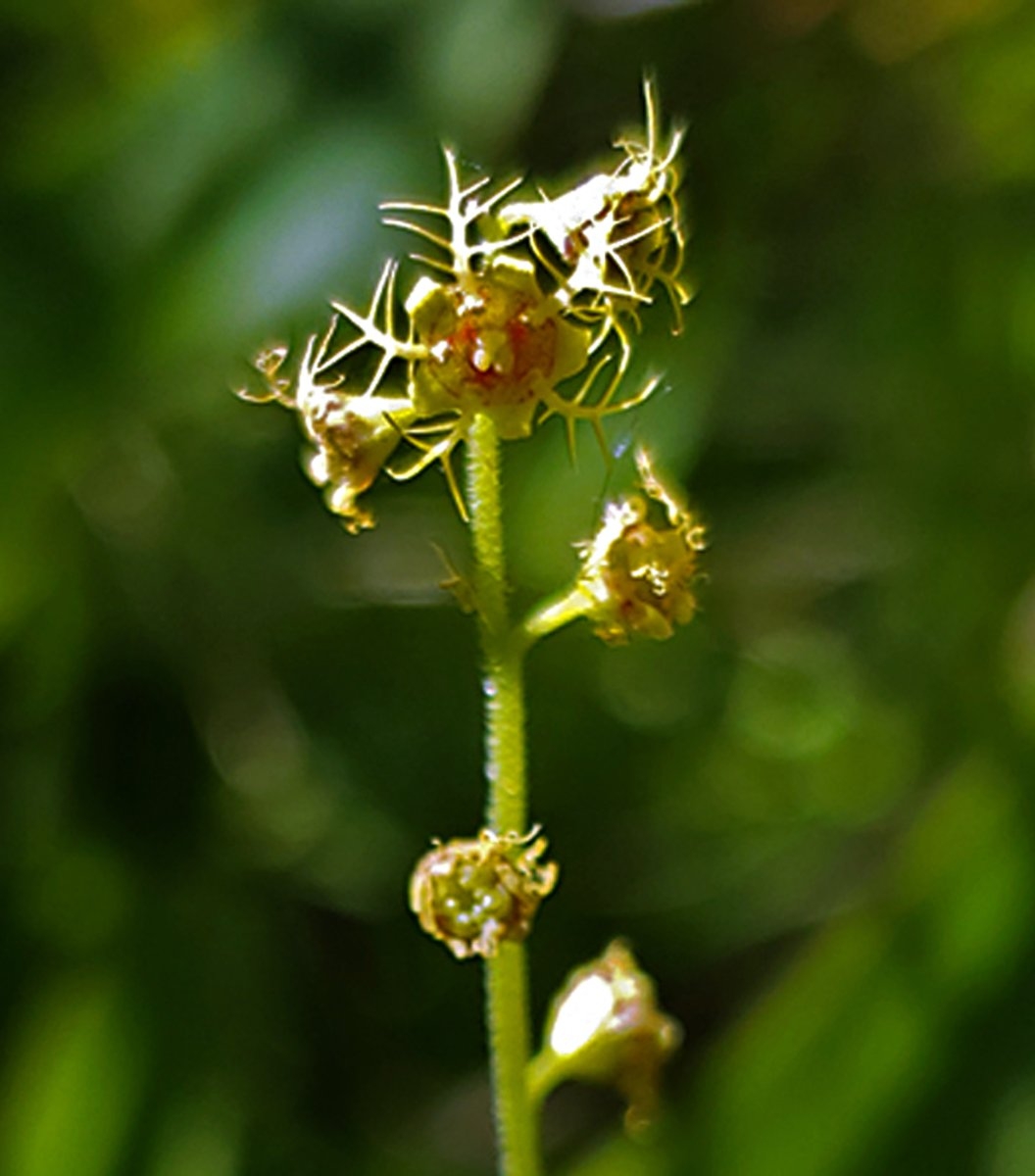
At one point you will be standing on a mountain side surrounded by a carpet of yellow, with a panoramic view of the austere Desolation Wilderness. Shortly thereafter you will come to a fork in the trail. To the right are the ups and downs towards Barker Peak which is capped by a fun slag field. On the way to the top is a gorgeous little garden on a flat that follows a windswept ridge that harbors some alpine flowers like Loco Weed. Back at the fork, the middle (straight) path leads to a dark red/rust volcanic plug and another great view of Lake Tahoe. Along the way to the plug is a small stream, or seep, where there are all sorts of color including the perky yellow Monkey Flowers. Following are some steep ridge crossing trails that may test your limit for acrophobia. (Tahoe CNPS)
There is about a 1000 foot elevation gain. This trail is part of the Pacific Crest Trail and the Tahoe Rim Trail.
THREATS:
A four-year drought is stressing the environment. Peak bloom is moving earlier with each new drought year, now mid to early July.