KEYWORDS: Thomes Creek, Bowers Creek, Dead Rabbit Lake,
ABOUT
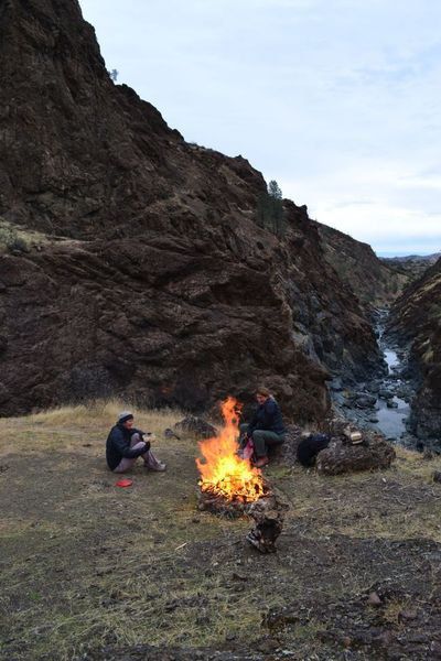
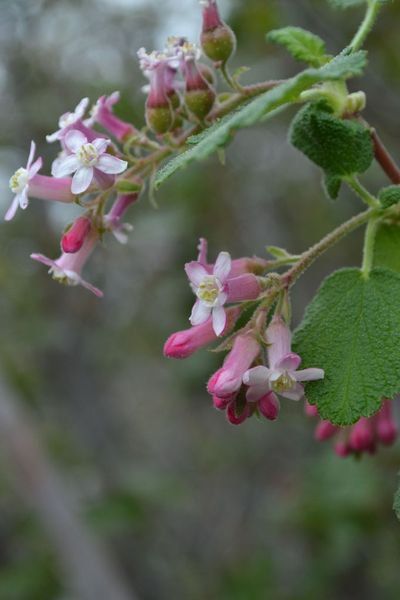
Uncommon place for Northern California. The arid climate along with the lack of water sources gives the location a Southern California feel. The trail meanders along a variety of shrubs with unbelievable views, and on a clear day, Mount Lassen is visible at a variety of spots on the trail. The seasonal vernal pools provide a place for wildflowers. The trail drops into the spectacular geologic formations of Thomes Gorge, ending near the deep, sparkling pools of Thomes Creek. From late March through November, the area can be very hot with little water along the way. Be sure to pack plenty to drink.
Bring lots of water. The trail can be accessed from Mud Flat Rd, but it can be very muddy after recent rain requiring a 4WD to the trail, and parking on Mud Flat Rd is extremely limited.
HISTORY:
The area was ravaged by the August Complex Fire in 2020, and the trail was bulldozed, and never restored by the Mendocino National Forest properly. The trail is lost.
MORE INFORMATION AND CONTACTS
Chico Hiking Association:
Thomes Gorge Trail maps and information We cover the 50 best hikes within 2:10 of Chico, California. Our trail information is the best available, but use it at your own risk. Enjoy.