KEYWORDS: Belden, Feather River Canyon, Pacific Crest Trail, Chips Creek
ABOUT
Getting to the trailhead is such a scenic drive featuring tunnels, bridges, cascading waterfalls, brilliant wildflower color in spring and summer. The pass is the lowest pass in the Sierra's at 5221' in elevation.
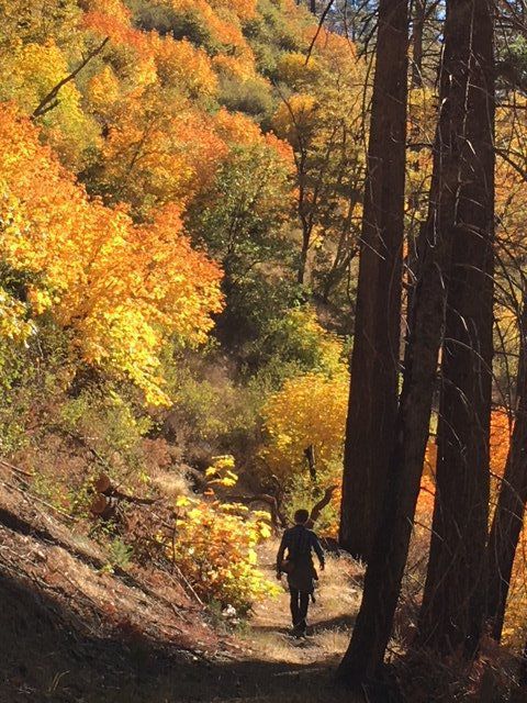
This hike starts in the immense Feather River Canyon, and goes up steeply for 4 short switchbacks, and then follows a level route created long ago by miners.
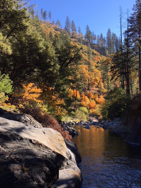
There is a secluded campsite for Pacific Crest Trail travelers as they prepare for a nearly 5000' climb, and flood-polished metamorphic rock for dayhikers to rest on and admire the creek.
This is low elevation, despite having big mountains all around, and is snow-free most of the winter.
HISTORY:
In 2021, the area was ravaged by the Dixie Fire, and has lost it's magnificence.